Welcome to WordPress. This is your first post. Edit or delete it, then start writing!
Hello world!
1 Reply
Welcome to WordPress. This is your first post. Edit or delete it, then start writing!

Today is Thursday, October 30th. The show is up for four more days and I want to share this one post from the end of Book 3.
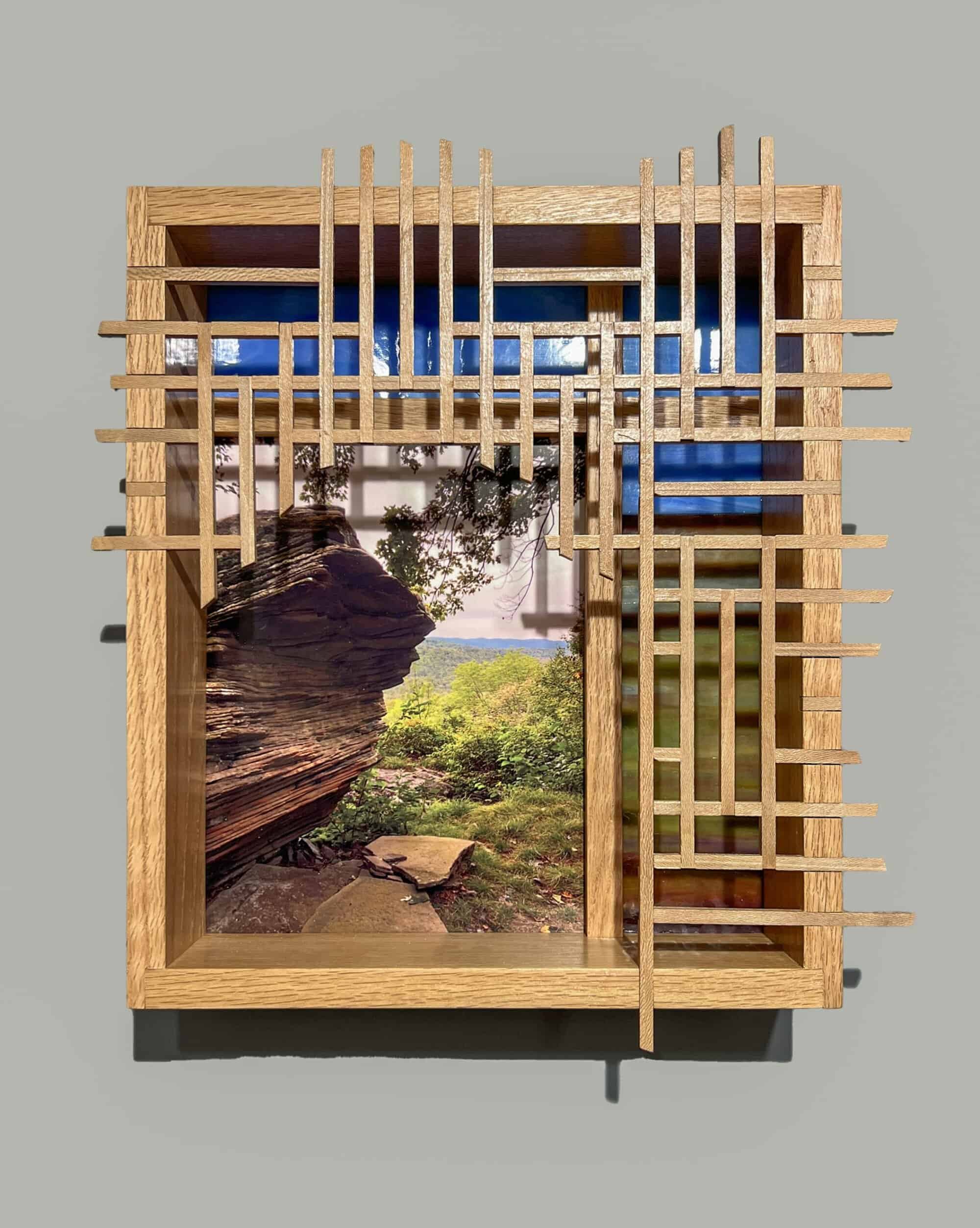
In 2019, the FLTC decided to add four miles to the eastern end, moving the terminus to Slide Mountain, the highest peak in Catskill State Park. Practically speaking, this adds eight miles to the end-to-end trek because once you have reached the peak, you must turn around and hike back down the mountain. The climb is almost 2000 feet, some of it quite steep. I made plans with Donna Coon and her friend Julie to complete this section in June 2022. Rather than start at the parking area on Denning Road, I found a trailhead for the Phoenicia East Branch Trail that would start us directly west of Slide Mountain. It was a steep climb to connect to the main FLT, but it shaved about 2 miles off the day’s hike.


Unfortunately, Donna was not feeling well enough to make the climb that day. But she generously drove Julie and me up to the trail head and then met us on Denning Road later when we finished. Several friends had warned me that this climb would be challenging. In preparation, I hiked up the steep Buttermilk Gorge in Ithaca a few times. Julie and I were both nervous. We took our time climbing the steep, rocky Jeep Trail. Once that connected with the main FLT, it was a gentle walk through the woods. The weather that day was perfect – clear skies and not too hot. The views at the top were breathtaking!
I would go on to complete my E2E later that year. It would then take me another 2-1/2 years to finish the series of photo-sculptures. Now, it is August, 2025, and this journey through my art, my photos, and my words has come to an end. I hope you have enjoyed it as much as I did. If you are not familiar with this wonderful trail, perhaps it will inspire you to explore some or all of it. Or, if you know parts of the FLT, or you are an end-to-ender like me, hopefully I have triggered in you some memories from your own hiking experiences. And if you are unable to hike for any reason, I hope my books have allowed you to enjoy the experience through my eyes.

Stay tuned for my next set of blog posts featuring my adventures in Scotland….

As the autumn of 2022 approached, I realized that I had less than 100 miles to complete my end-to-end (E2E) journey on the FLT. Though there was no actual deadline to complete the Trail, suddenly, I really wanted to finish by the end of the year. I had noticed that, at times, my knees were beginning to hurt. What if I had gotten this close and then, suddenly, I was unable to continue. I knew that if that happened, I would be so disappointed.


This realization spurred me to plan lots of hiking days on the western maps with my buddy Robert. Along with friends Barb, Deb and Joyce, I logged 55 miles in September and early October that year. (You can read some of my tales from those hikes in Part I of this series.)
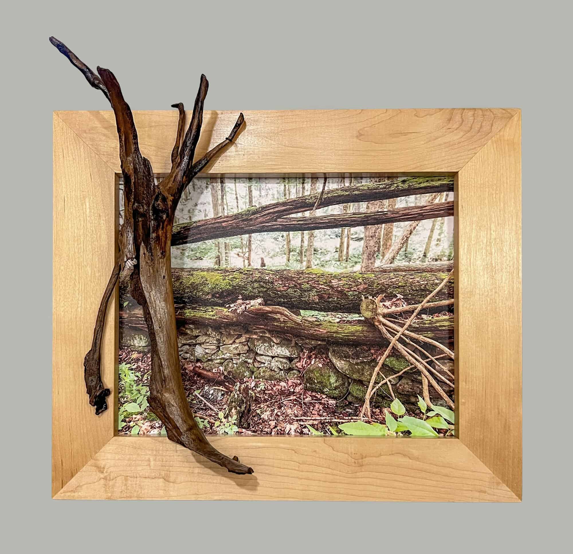

Much of Maps 23 and 24 pass through New York State Forest Land. Along the way, you pass numerous old stone walls and occasional foundations. I learned from some of my companions that during the Great Depression, many farmers were unable to stay in business. After the farms were abandoned, the State acquired much of the land. These remaining stone walls are often all that is left to remind us of that history.


Later, under President Franklin D. Roosevelt, young men were put to work planting millions of tree seedlings in these New York State forests. These reforestation programs continue to this day. Their work is obvious when you realize at times that all the pines around you are planted in neat rows.
The May hike was cold and raining. The logistics of planning these events make it impossible to schedule rain dates. Two or three buses have been hired. 100 or more hikers have signed up – too many people to re-schedule. So, the hikes go ahead, rain or shine.
The volunteers who plan these group hikes have a challenging task. They must divide the total mileage in that county into six somewhat equal hikes. There must be a meeting place with enough room for lots of cars to park. Then, they must find a trail head that is accessible to the school buses that will ferry the hikers to the starting point. The organizers must also find a suitable location for the SAG, an anagram for Supplies and Gear, borrowed from bicycling trips. For the hikers, it’s a spot about midpoint. It must be accessible by car so volunteers can set up tables for snacks, water and electrolyte mix, along with a bunch of camp chairs. Here, weary hikers can take a break, replenish their water bottles and stock up on food for the second part of the day. Because the hikers have divided into smaller groups based on their hiking paces, they arrive at staggered times.
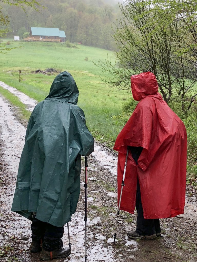
The planned hike that day was 8 miles long. Somehow, our hike leader missed a turn, and we ended up on the wrong trail, adding an extra mile or so to the hike. When we arrived at the SAG, I decided I was too tired and cold to continue. I might have tried to finish, but it was less than two weeks before a planned trip to France. Afraid that I might slip and fall on the wet, muddy trail and maybe break something and thus ruin my long-planned vacation in Europe, I opted to “sag” out. This is when one of the SAG volunteers gives you a ride back to your car. I would plan a time to finish those last four miles another day.
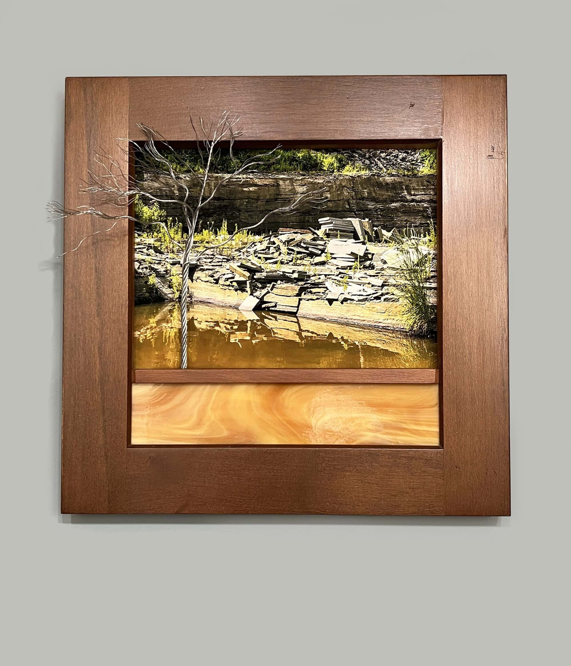
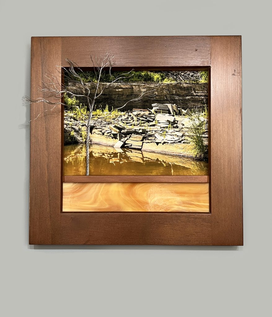
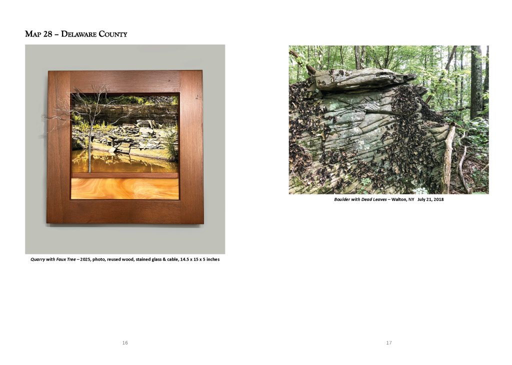
Two months later, in July, I was challenged with the longest hike of the season – twelve miles on Map 28. I am writing this in July of 2025. In my memory, it was wet and rainy that day. But my photos tell a different story. It looks quite pleasant and sunny. It must have been raining for days before the hike because for much of the trail, we were hiking through standing water. The streams were running high and fast, including at Loomis Brook. Here, the volunteer trail maintainers had installed a cable to help us cross the fast-running creek. The water was well over our knees and without that cable, I’m sure many of us would have lost our footing. I heard later that one person did fall. But thankfully, they were not seriously hurt. They just got soaking wet!
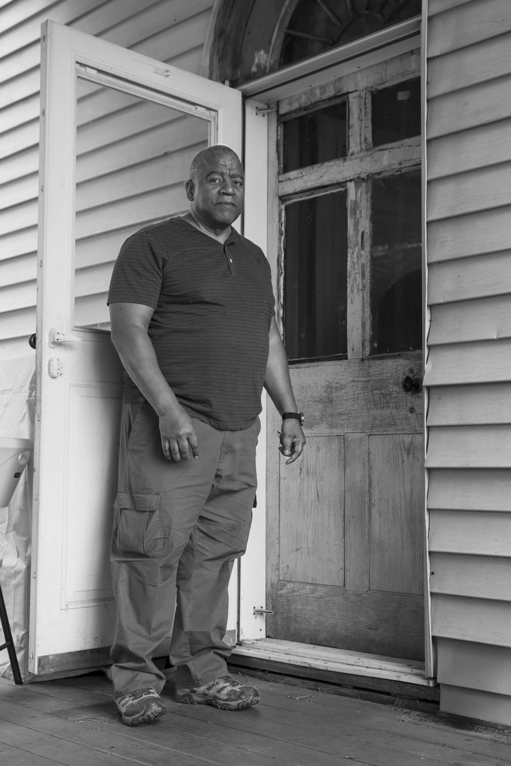

This door was part of the house when it was first built in the 1800s. The house used to belong to the Speeds. They sold it to my great-grandmother. Next it went to my father and then it came to me.
This is a wonderful place to live because it’s so peaceful. If I need help, the neighbors will come and help me. If they need help, they just call me. We don’t agree about everything, but who cares? People help each other. You don’t have to know which political party they’re in to help a person.
But, it’s gonna change here. Everything changes. You can see all the new houses popping up now. We’re changing too. In the pasture where we used to have horses we now have solar panels.
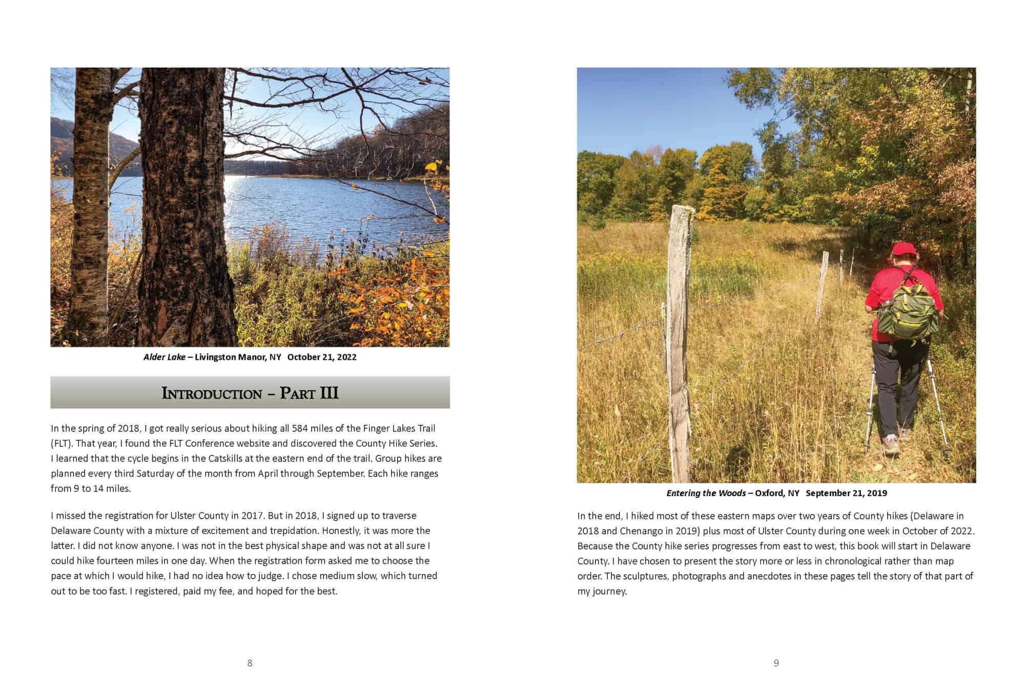


In the spring of 2018, I got really serious about hiking all 584 miles of the Finger Lakes Trail (FLT). That year, I found the FLT Conference website and discovered the County Hike Series. I learned that the cycle begins in the Catskills at the eastern end of the trail. Group hikes are planned every third Saturday of the month from April through September. Each hike ranges from 9 to 14 miles
I missed the registration for Ulster County in 2017. But in 2018, I signed up to traverse Delaware County with a mixture of excitement and trepidation. Honestly, it was more the latter. I did not know anyone. I was not in the best physical shape and was not at all sure I could hike fourteen miles in one day. When the registration form asked me to choose the pace at which I would hike, I had no idea how to judge. I chose medium slow, which turned out to be too fast. I registered, paid my fee, and hoped for the best.
In the end, I hiked most of these eastern maps over two years of County hikes (Delaware in 2018 and Chenango in 2019) plus most of Ulster County during one week in October of 2022. Because the County hike series progresses from east to west, this book will start in Delaware County. I have chosen to present the story more or less in chronological rather than map order. The sculptures, photographs and anecdotes in these pages tell the story of that part of my journey.


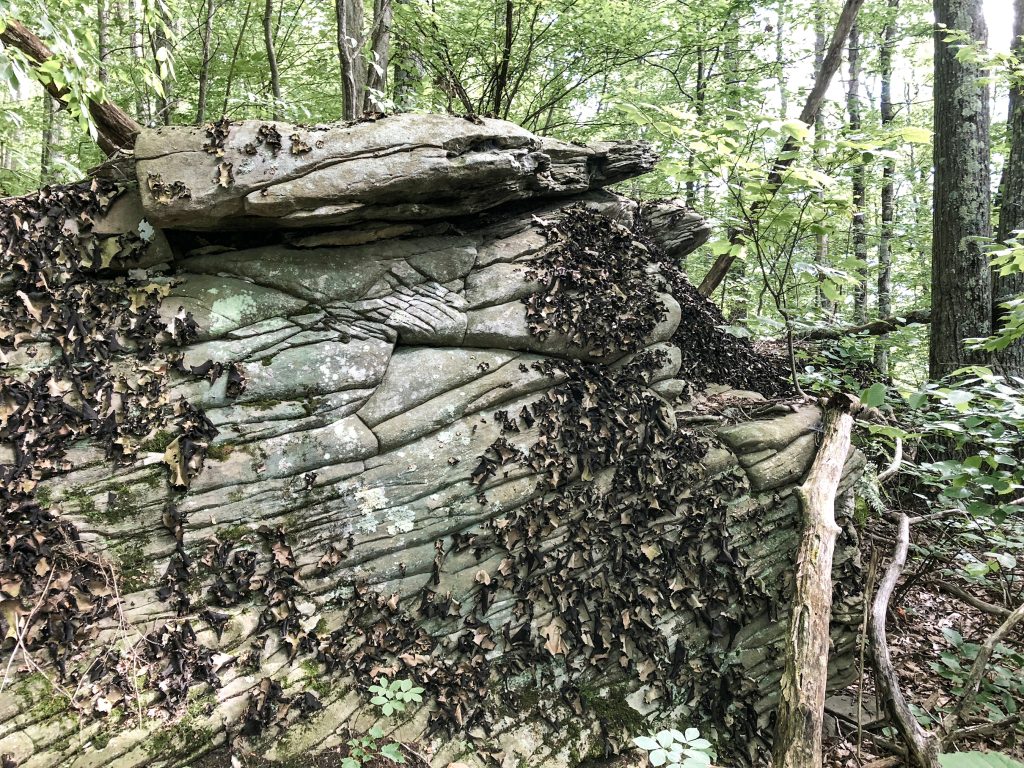
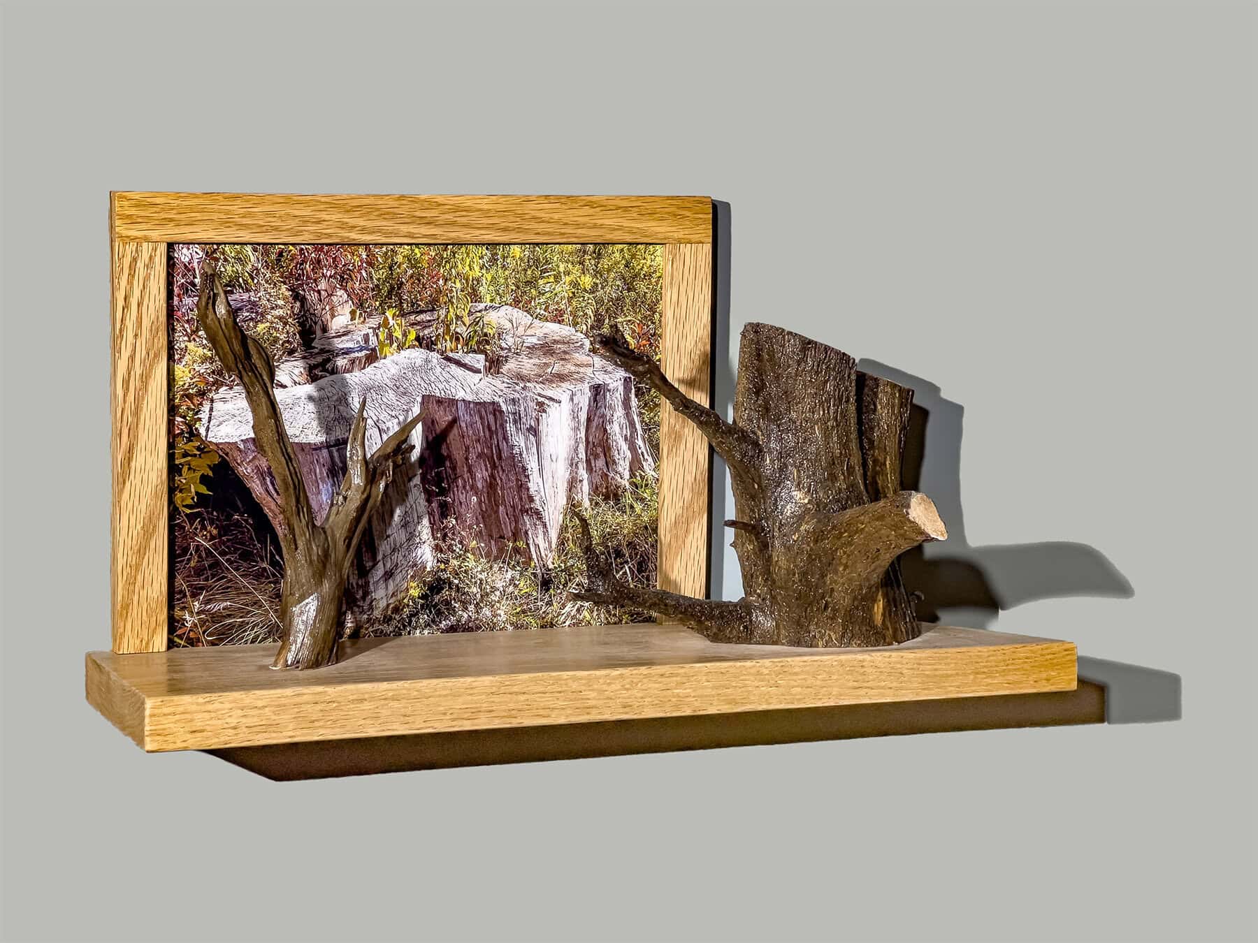
The photo-sculptures in this series came together in different ways. On the earliest hikes, I was not thinking about making art. I was just enjoying nature and snapping a few images here and there. Once I decided to make the series, I paid more attention to the images. I made conscious choices to photograph trees that might mimic the found wood I had been using in my sculptures for years. At times, I would snap a photo and then immediately have an idea for a sculpture. But more often, I took lots of pictures and then later, back in the studio, would print out the ones that might inspire something more.


Something really fun happened when I took the photo for this piece. It was a county hike, and a few of us were walking down the road together. When I stopped at this beautiful, gnarled, dead tree, one of my companions said “it looks like one of your sculptures!”
Though the image was captured in 2021, it took a few years before I found the right use for it. I tried a lot of different branches until I finally settled on this root with such similar energy and gesture. Then I found the gray stained glass that was so reminiscent of the gray and overcast day of that hike. This is my process: I collect images, objects and materials and then try to find the ones that belong together to become something new.
As I write this in April of 2025, the last two pieces of the series are in their final stages. This book, part two of a three part series, is also almost complete. I am not sure what will come next, but that’s what makes the journey exciting!


In September of 2020, everything was closed. It was the height of the Covid 19 pandemic. The County Hike series was cancelled that year because no one wanted to be on buses with large groups of people. But outdoor activities, like hiking, was something we could do together in pairs or small groups.
I planned a hike with Becca Harber up at Watkins Glen State Park. The FLT follows the creek and passes along the lake in the western part of this long, narrow park. This part is less travelled than the beautiful, steep gorge that is often busy with visitors. Becca and I met in the parking lot off Rte 329, left one car there and then drove together, wearing masks, up to Access 3 on Templar Road, just west of the State Park boundary.
Though the trail has since been re-routed, at the time, there was a creek crossing that I had heard could be tricky. Becca and I got lucky. There was a drought that summer and when we got to the crossing, it was bone dry!
I had only met Becca a year or two earlier, but she had a wide circle of friends in Ithaca. Sadly, she died suddenly just about two years after this hike.

In July of 2017, I planned a hike in Danby. After leaving my car at Eastman Hill Road, Elizabeth drove me to Durfee Hill – a very steep, very rocky, seasonal road. I start climbing up, expecting to turn off onto what the map described as a private, woods road. It was not quite one mile to the turn. I climb and climb but I don’t see any sign for the turn. Eventually I decide I must have missed it. I head back down the hill and this time I see an intersection, but it is marked on both sides “no trespassing”. So I keep going down the hill, but I am sure I have gone too far again. I go back to “no trespassing” signs and I think this MUST be it. Maybe the signs just mean I must stay on the road but not stray onto the property on either side. I walk in and very quickly see the white blazes that indicate this is indeed the Finger Lakes Trail.
The rocky climb on Durfee Hill Road gives way to a lovely stroll through the woods. I continue a mile and a half to the next intersection at Heisey Road. But my map shows the trail turning left here. Instead, I see brand new white blazes telling me to continue straight into the woods. I follow the trail another half mile and I am back at my car. Back home, I go on the FLT website and look at Map 17. They had JUST published a new version of the map. That’s when I learned the lesson that would have saved me many miles of hiking and hours of confusion. Before starting any hike on the FLT, one should check to be sure one has the latest version of the map!


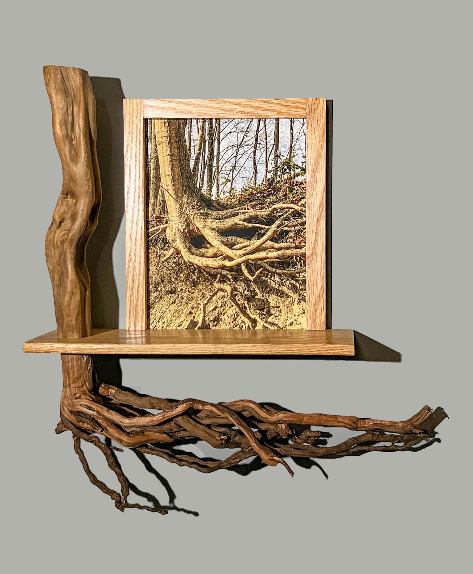
In 2017, I did not have the slightest inkling about creating a series of sculptures about the trail. So in 2023, when I realized that I had very few photos from Map 17, I asked my friend, Susan Larkin, to hike part of that map with me again. We set out together on a crisp, sunny November morning. I thought this train bridge would be the answer. Then we continued up the hill toward Lick Brook Preserve. I captured some images of a tree with its roots exposed by erosion. One of those photos inspired the sculpture shown on page 32.
Toward the end of the hike, Susan and I sat for a while and discussed our plans for the exhibit we would have together in October of 2025. For her recent work, she has collected photographic portraits and interviews of people in her community, looking for connections and common ground in these difficult times of polarization in our country. The resulting books are both beautiful and compelling. I had mentioned to Susan my desire to create a book of my own based on my hiking adventures. Now, as we sat on a bench in the woods, Susan encouraged me to join her in a class focused on creating just such a book. I am so glad that I took her advice.
